Now You Sea
Seeking Answers from Data with Ochieng’
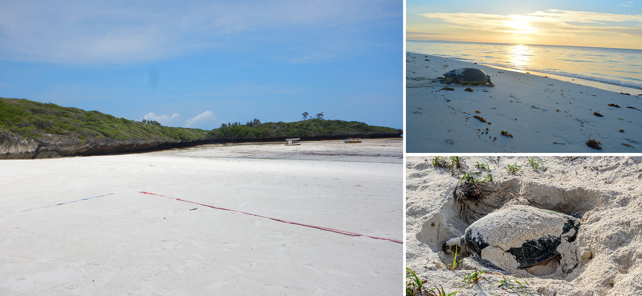
Sitting on Watamu beach with the waves crashing, salty wind blowing in, and sand sticking to wet feet, it’s hard to imagine this world viewed in any other way. Yet our Management Information Systems (MIS) Lead, Ochieng’, routinely sees this space through satellites, coordinates and grids displayed on his laptop screen. Taking the data collected through various LOC programmes, Ochieng’ turns raw data into useful information. Information that enables us to make informed decisions and measure the impact our programmes are having.
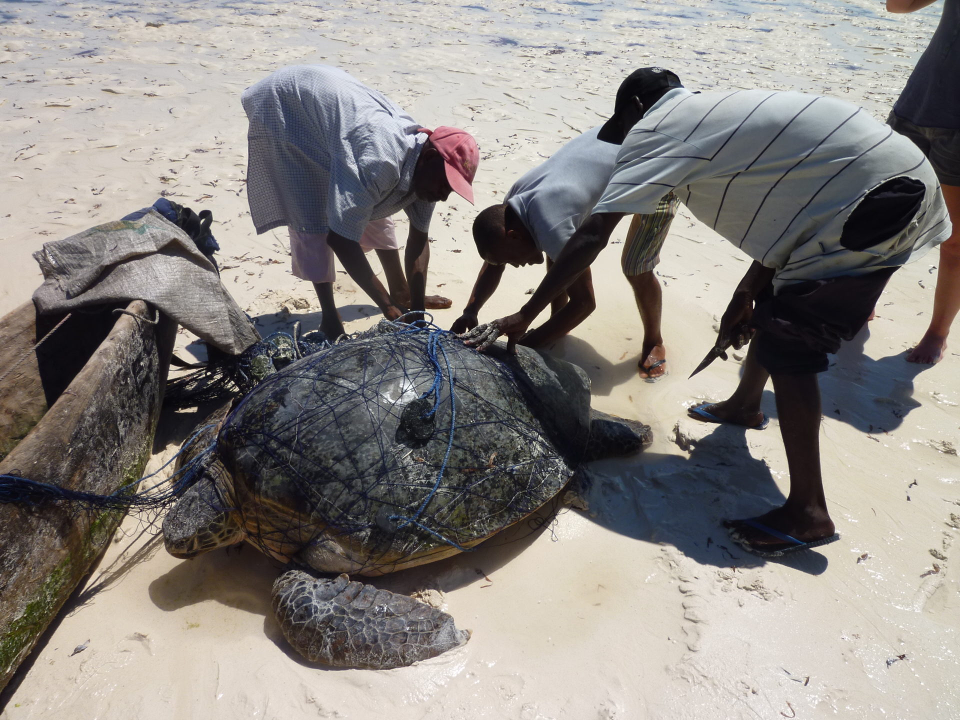
Ochieng’ started at LOC as an intern, with a background in Geographic Information Systems (GIS), before rising up fast to lead the MIS team on its exciting journey. When he thinks about the conservation goals his tools are enabling, he wants to know “Where are turtles caught? What is the prevalence of fibropapillomatosis? Where are turtles foraging? What is the suitability of the beach when you speak of nesting of turtles?” By answering these questions, he and the rest of the LOC staff have a better idea of where to concentrate work.

While collecting and processing one type of data such as turtle catch sites is important, Ochieng’ can map a more complete picture by using data layering. On the subject he commented, “with all this layering, we can now narrow down, close to precision, the turtle hot spots in the marine waters.” This data can be used as proof that more protection is needed for certain areas.
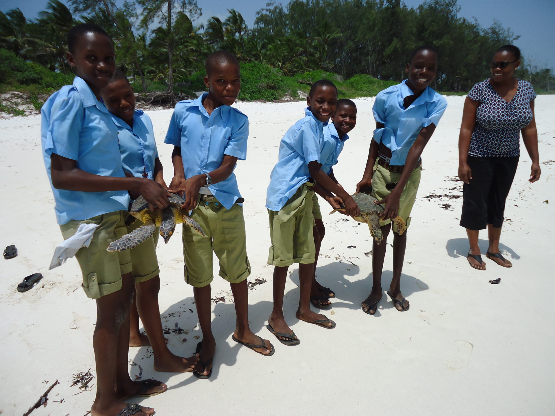
In our nesting programme, acquiring and analysing the coordinates of nests has allowed us to do just this. Of nesting hot spots, Ochieng’ said “no new structures can come up in this stretch, no floodlights are erected in such places, and we try as much as we can to curb human traffic along such stretches.” Instead of diffusing limited resources across a large area, we can concentrate on hot spots and maximise our successes.
Ochieng’ has a lot of exciting projects he’s working on, two of which were recently finished and have already been put to use.
“At LOC we capture a lot of data by hand which comes with lag time and potential inaccuracies”. Ochieng’ elaborates on how this was addressed through LOC’s Zindi campaign, where machine learning models were crowdsourced to help us with our data cleaning process. This has historically been a slow and laborious task, now we have a model that can run through our data and flag errors and anomalies, which the team can then quickly correct. This allows us to replace an inefficient, manual process with an automated one.
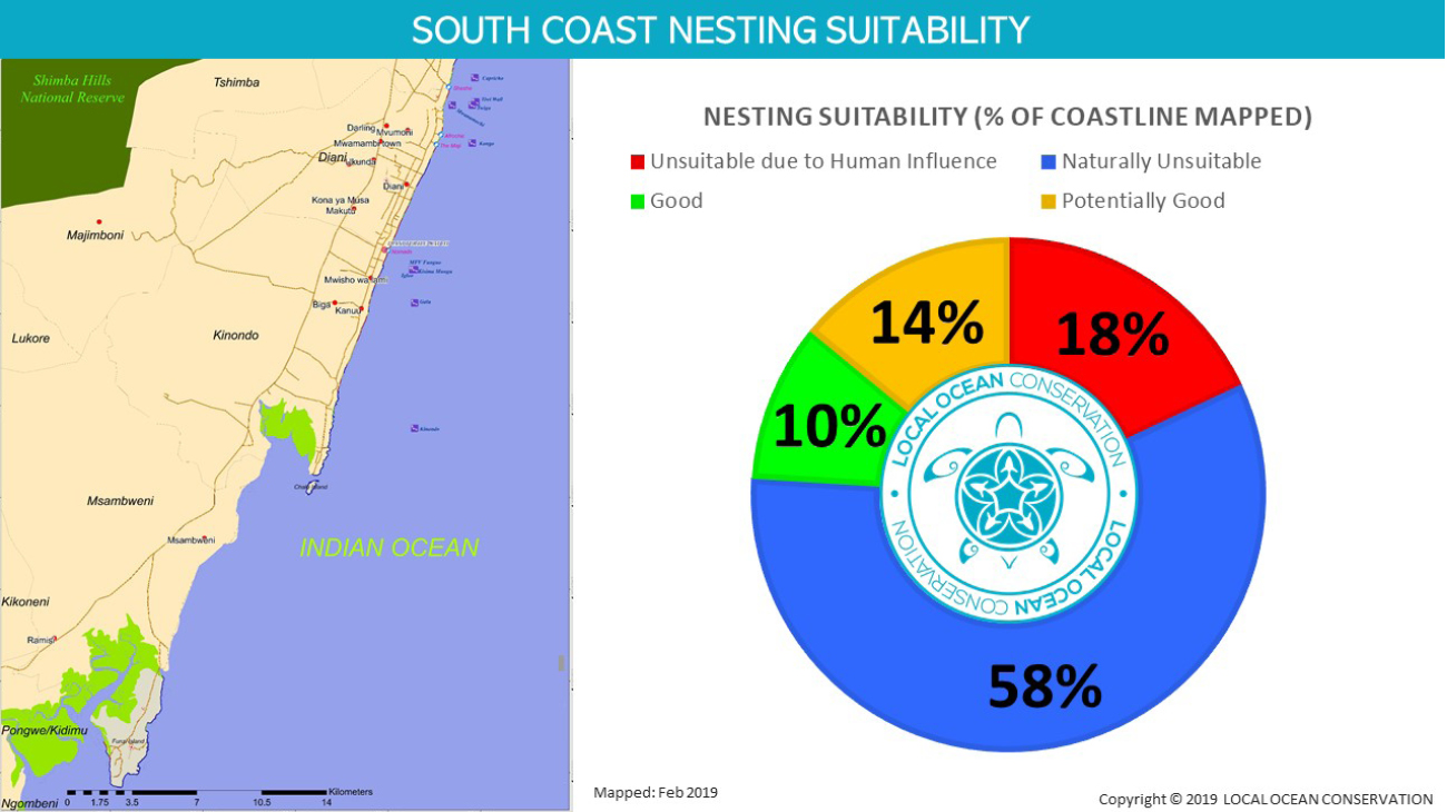
The LOC Mapper App has also been developed, which Ochieng’ explains is “a tool that was used in the mapping of the nesting suitability of Kenya’s South Coast and produced significant results. We now have a base map for the South Coast and a base map for Diani Turtle Watch.” The incorporation of this technology will be immensely helpful in increasing the impact of our programmes.
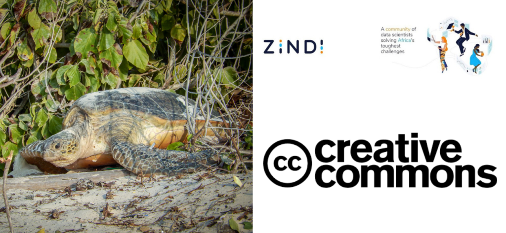
Finally, there’s the power of Open Source through Creative Commons licensing. We believe that if conservation data is released Open Source, we can help break down the barriers between people and organisations and enable them by providing information so they can help.
You too can get involved by supporting LOC’s technology team, so that they can clean their data and release it Open Source. Now You Sea a way to help, click here to show your support.
Leave A Comment